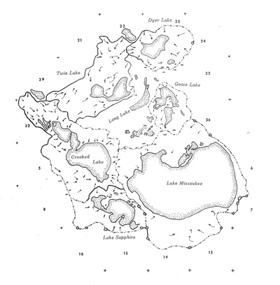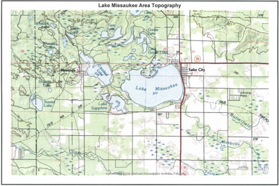
A water outlet structure was placed on the east shore of the lake in the early 1970s to address very high lake levels at the time and to comply with a 1942 ruling setting the normal lake level at 1,238 feet above sea level. The watershed for Lake Missaukee is 1,775 acres (see this visual) or slightly less than the area of the lake. This results in the lake level typically at a high level in the spring, but often substantially lower by the end of the summer. A few natural springs may feed the lake at the west end, but they do not input enough water to offset evaporation during the summer.
The chart below shows early spring and late summer lake levels since 2004. To focus on the movement, Y axis shows only the last digit of the foot measurement (making the 8.5 line actually the 1238.5 foot legal level).
SOURCE: Missaukee County Road Commission
To read each data point, mouse over
it or touch it (tablets).


